TREEFOLIO
Recommending Tree Placement in NYC
with LIDAR Shading Models
Pending Review at Bezos Earth Fund, Con Edison Grant
Team: Alex Kobald, Joe Ferdinando, Nneka Sobers, Ryan Hardesty Lewis, Daniel Abram, Adam Ganser, Huaiying Luo
INTRODUCTION
Treefolio is a toolkit designed to enhance urban forestry initiatives by harnessing machine learning for strategic tree planting. In dense cities like New York, trees do more than beautify streets—they offer cooler neighborhoods, cleaner air, and valuable social benefits. Yet, planting projects are often constrained by limited data and inequitable distribution. Our solution provides data-driven recommendations to city planners, ensuring trees reach the areas that need them most, from urban heat islands to neighborhoods suffering from sparse canopies.
INITIAL CONCEPT
The core idea for Treefolio emerged from the notion of a “digital twin” of a city’s tree canopy. By merging data from LIDAR scans, satellite imagery, and community insights, we can quantify each tree’s exact height, canopy spread, and local environment. This unified view informs a host of use cases: from choosing species that thrive in particular microclimates to prioritizing neighborhoods at higher risk of heat stress. Treefolio thus aims to deliver an integrated platform where local officials, nonprofits, and even residents can collaborate on developing greener, healthier urban landscapes, with specific details relevant to each community like school locations and street widths.
COLLABORATION WITH NEW YORKERS FOR PARKS
Our partnership with New Yorkers For Parks (NY4P)—an organization creating open green spaces in NYC—has been crucial to Treefolio’s evolution. They’ve dedicated years to expanding parkland and improving tree canopies in marginalized communities. By combining NY4P's advocacy expertise with Treefolio’s data-driven recommendations, we’ve been able to refine our approach and apply for key grants, including the Bezos Earth Fund and the Con Edison Grant. We've also presented together through workshops and council engagements across New York, demonstrating Treefolio’s potential to target planting initiatives where they matter most.
TECHNOLOGY & IMPLEMENTATION
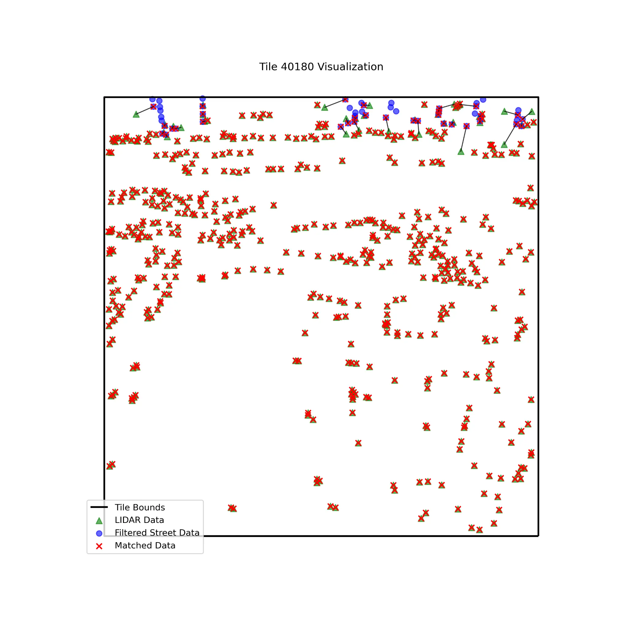
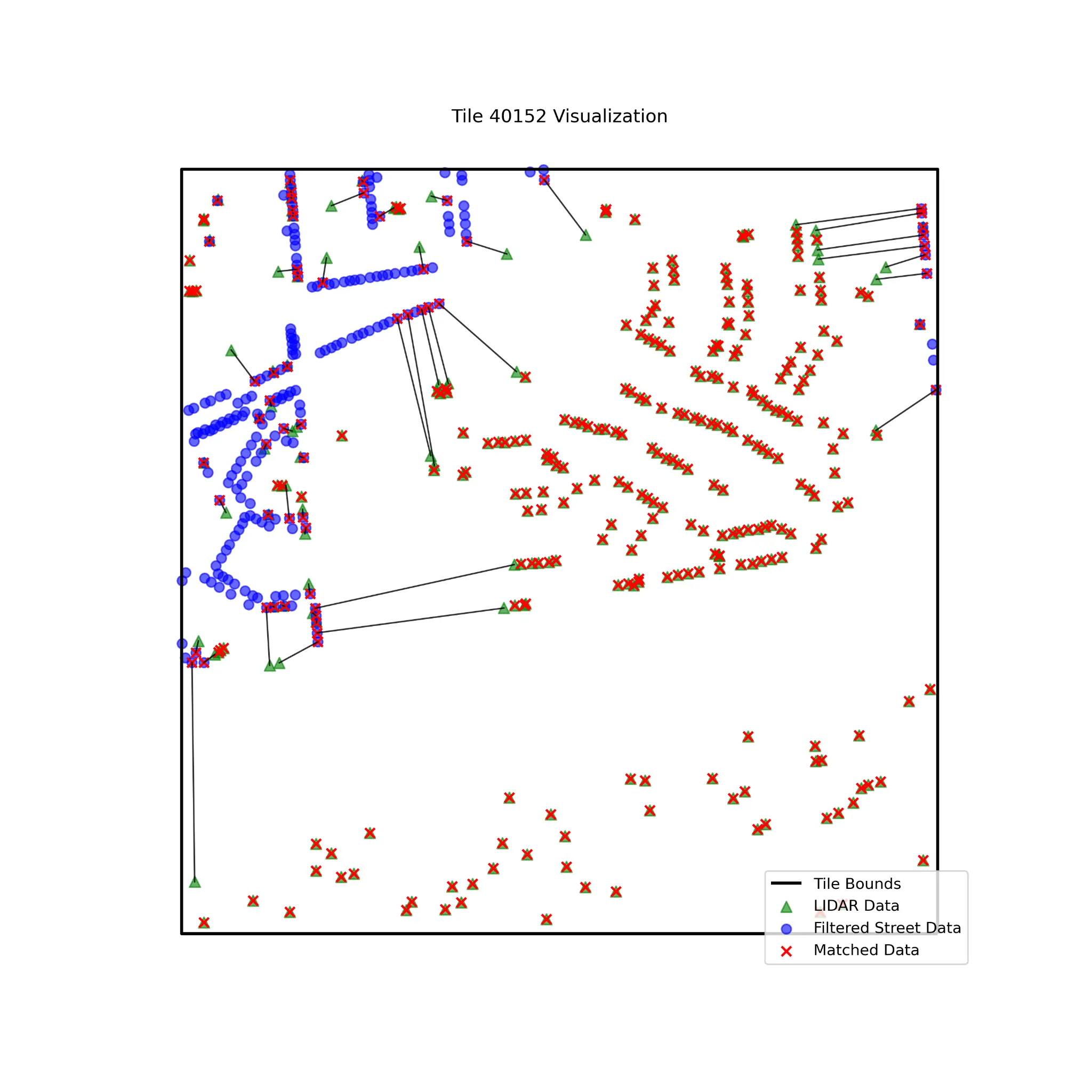
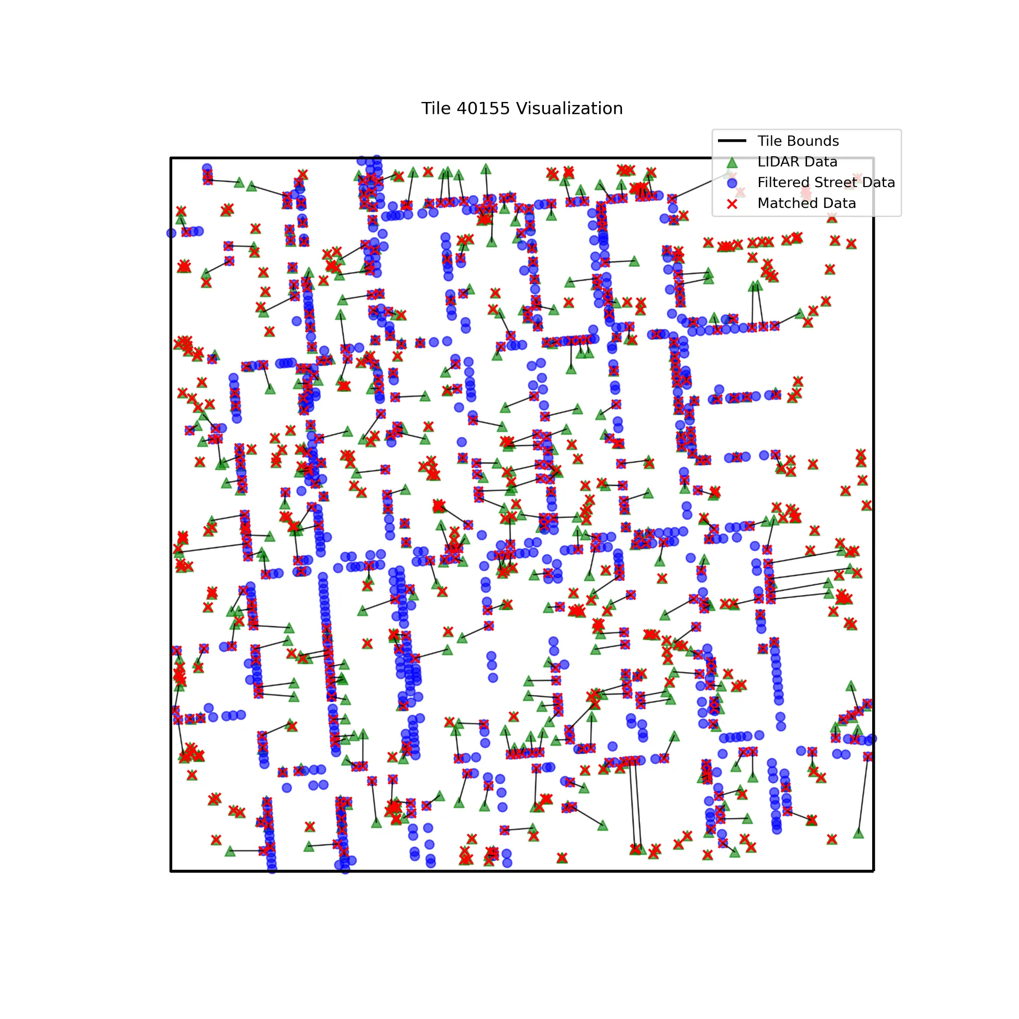
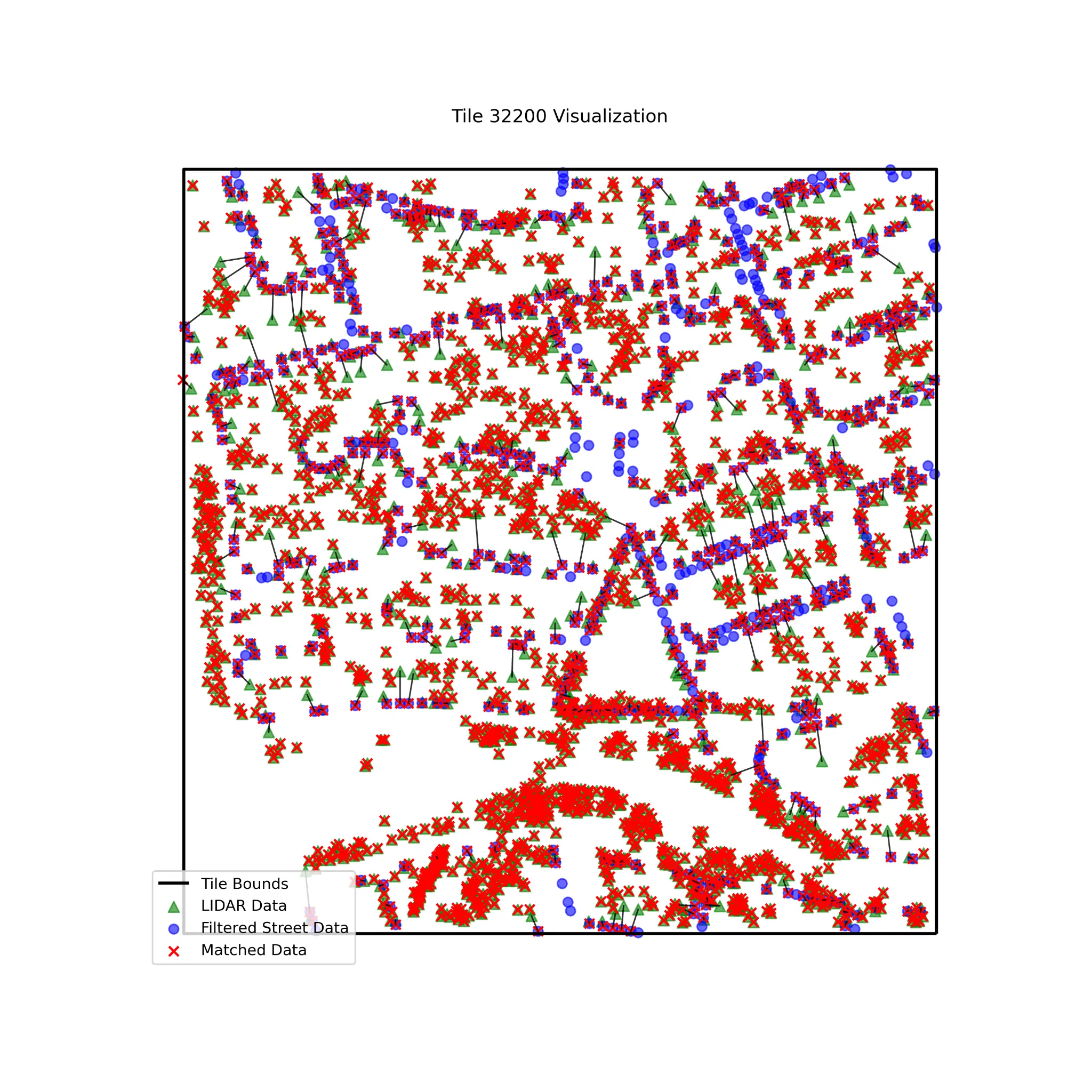
On the technical side, Treefolio integrates a triad of geospatial data processing, machine learning, and interactive mapping. We leverage LiDAR data to model tree heights and canopy spreads at the individual-tree level, merging these findings with publicly available resources such as NYC’s 2015 Tree Census. The result is an extremely detailed map that captures both the current canopy state and potential planting zones.
Deck.gl and Mapbox power our 3D visual interface, enabling planners to examine shade simulations and predict how adding trees to certain blocks could significantly reduce local temperatures. We also parse socio-economic data—like income levels, building densities, and sidewalk widths—to identify where new plantings will generate the greatest environmental and social returns. QGIS assists in segmenting large datasets by borough, while AWS EC2 performs large-scale computations for bigger analyses. By uniting these technical components, we ensure Treefolio yields precise, actionable insights, allowing us to generate recommendations per individual tree and neighborhood.
Each planting recommendation is backed by a machine learning model that correlates urban heat island data, tree health metrics, and environmental constraints. We actively add and update new information from NYC Open Data as we get it, including new locations of subway stops, public facilities, schools, as well as constantly add information that may be relevant to our digital twin. We believe Treefolio can serve as a dynamic, data-backed approach to expanding NYC’s canopy, tailor-made for each neighborhood’s unique needs.
VIDEO
RESULTS & IMPACT
Thus far, Treefolio has mapped thousands of trees across New York City, highlighting the cooling potential each one offers. Through pilot programs run jointly with NY4P, we’ve identified more than 500 priority planting locations in areas struggling with high heat vulnerability and limited shade. Early adopters have observed remarkable improvements in targeting neighborhoods most in need, ensuring grants and resources reach these communities more effectively.
Analysis reveals clear canopy disparities across borough lines, with the South Bronx and East New York lagging behind leafier neighborhoods like Park Slope. These data points not only confirm existing climate justice concerns, but also drive local initiatives to plant and maintain trees where they can make the biggest difference. Additionally, preliminary statistics suggest that Treefolio’s recommendations elevate survival rates for newly planted trees by matching species to optimal site conditions.
ACKNOWLEDGEMENTS
This project is a collaborative effort between Cornell AAP's Design Across Scales Lab and the Jacobs Institute's Urban Tech Hub.
We extend our thanks to NYC Open Data for providing essential LiDAR, school, and street data, among other vital resources.